







Visiting 美瑛川第2号堰堤
Typical pattern: usually quiet; mostly local visitors. Been there recently? Post today’s status and it shows here for the next traveller.
Best time
August to December when reservoirs are full and gates may open. Typical week: Mon quiet · Tue quiet · Wed quiet · Thu quiet · Fri light · Sat light · Sun light.
Places to visit near 美瑛川第2号堰堤
All places near Shimo-furano →
Shirahige Falls
waterfall · 1 km

Blue Pond
sanctuary · 3 km

Mt. Tokachi
viewpoint · 10 km

Mt.Bebetsu
viewpoint · 10 km

Mt. Tomuraushi
viewpoint · 23 km · Tokachi Subprefecture

Hagoromo Falls
waterfall · 26 km
How to reach 美瑛川第2号堰堤
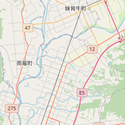
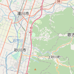
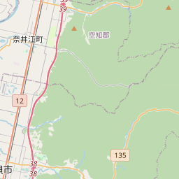
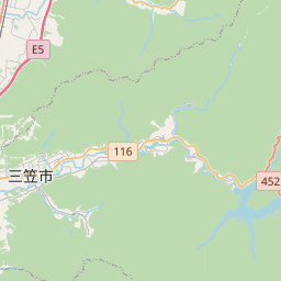
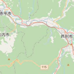
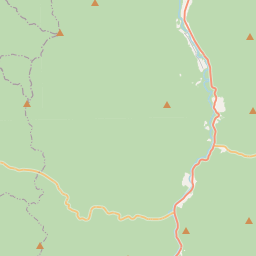
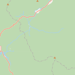
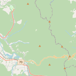
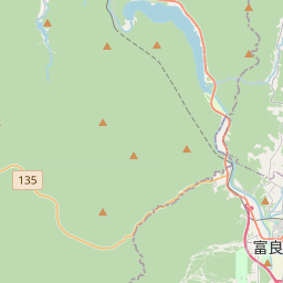
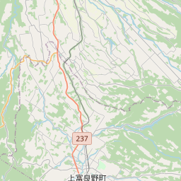
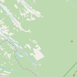
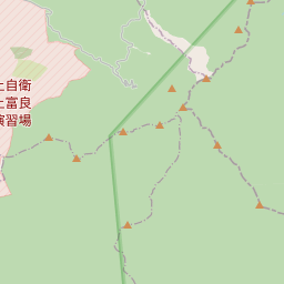
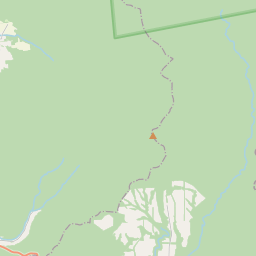
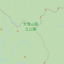
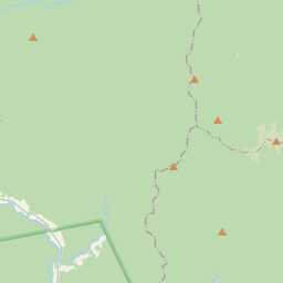
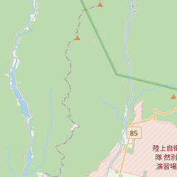
Nearest towns with a guide: Shimo-furano (31 km) · Ashibetsu (45 km) · Asahikawa (49 km). Coordinates 43.47944, 142.63413. Road distances are estimates.
Frequently asked
What is the best time to visit 美瑛川第2号堰堤?
August to December when reservoirs are full and gates may open. Usually quiet; mostly local visitors.
What are the places to visit near 美瑛川第2号堰堤?
Nearby: Shirahige Falls (waterfall, 1 km), Blue Pond (sanctuary, 3 km), Mt. Tokachi (viewpoint, 10 km), Mt.Bebetsu (viewpoint, 10 km), Mt. Tomuraushi (viewpoint, 23 km), Hagoromo Falls (waterfall, 26 km).
Sources. Map data © OpenStreetMap contributors (ODbL). Credits.