










Visiting Atrio
Typical pattern: moderate; weekends busier. Been there recently? Post today’s status and it shows here for the next traveller.
- Opening hours change with the season; check the last entry time.
- Wear shoes with grip for steps and uneven stone.
Best time
Year-round; the dry season is the most comfortable. Busiest weekends and long holidays. Typical week: Mon light · Tue light · Wed light · Thu light · Fri light · Sat busy · Sun busy.
Places to visit near Atrio
All places near Acatzingo (Acatzingo de la Piedra) →
Salto de Tzumpantitlán
waterfall · 18 km · Tonatico

Pico del Fraile
viewpoint · 35 km · Toluca

Xochicalco
fort · 43 km · Temixco

Centro Cultural Mexiquense
museum · 53 km · Toluca
Museo De La Acuarela
museum · 54 km · Toluca
Museo de Numismática del Estado de México
museum · 54 km · Toluca
How to reach Atrio
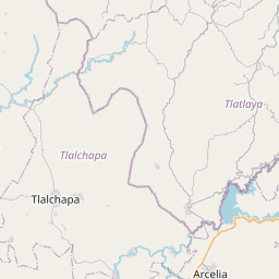
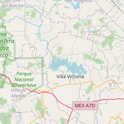
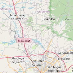
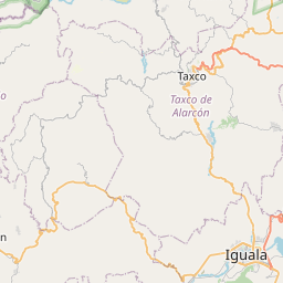
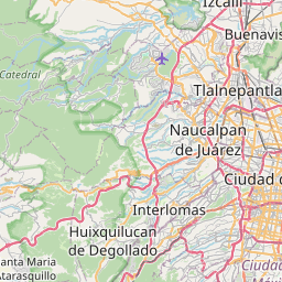
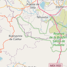
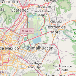
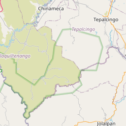
Nearest towns with a guide: Acatzingo (Acatzingo de la Piedra) (4 km) · Tepetzingo (5 km) · La Finca (5 km). Coordinates 18.90315, -99.60431. Road distances are estimates.
Frequently asked
What is the best time to visit Atrio?
Year-round; the dry season is the most comfortable. Moderate; weekends busier.
What are the places to visit near Atrio?
Nearby: Salto de Tzumpantitlán (waterfall, 18 km), Pico del Fraile (viewpoint, 35 km), Xochicalco (fort, 43 km), Centro Cultural Mexiquense (museum, 53 km), Museo De La Acuarela (museum, 54 km), Museo de Numismática del Estado de México (museum, 54 km).
Sources. Map data © OpenStreetMap contributors (ODbL). Credits.