










Visiting Cascade Park
Typical pattern: moderate; weekends busier. Been there recently? Post today’s status and it shows here for the next traveller.
- Stay on marked paths: rocks near falls are slippery.
- Flow is strongest in the wet season or during snowmelt.
Best time
July to January, best August to November right after rains; most dry up from February to June. Busiest weekends and long holidays. Typical week: Mon light · Tue light · Wed light · Thu light · Fri light · Sat busy · Sun busy.
Places to visit near Cascade Park
All places near Elkford →Tornado Mountain
viewpoint · 25 km · Municipal District of Ranchland No. 66
Beehive Mountain
viewpoint · 25 km · Municipal District of Ranchland No. 66
Gould Dome
viewpoint · 28 km · Municipal District of Ranchland No. 66
Mount Holcroft
viewpoint · 36 km · Kananaskis Improvement

World's Biggest Truck
attraction · 37 km
Mount Etherington
viewpoint · 41 km · Kananaskis Improvement
Other waterfalls nearby
Pétain Falls · Kananaskis Improvement77 kmLundbreck Falls Provincial Recreation Area · Municipal District of Pincher Creek No. 987 kmDyson Falls · Kananaskis Improvement89 kmElbow Falls Provincial Recreation Area · Kananaskis Improvement121 kmKananaskis Falls · Kananaskis Improvement143 kmBlakiston Falls · Improvement District No. 04149 kmHow to reach Cascade Park
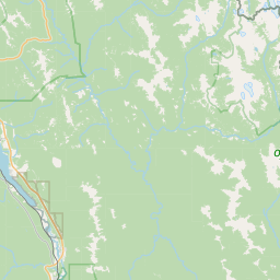
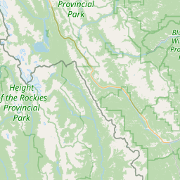
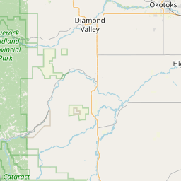
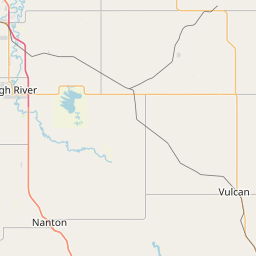
Nearest towns with a guide: Elkford (8 km) · Sparwood (37 km). Coordinates 49.99992, -114.92556. Road distances are estimates.
Frequently asked
What is the best time to visit Cascade Park?
July to January, best August to November right after rains; most dry up from February to June. Moderate; weekends busier.
What are the places to visit near Cascade Park?
Nearby: Tornado Mountain (viewpoint, 25 km), Beehive Mountain (viewpoint, 25 km), Gould Dome (viewpoint, 28 km), Mount Holcroft (viewpoint, 36 km), World's Biggest Truck (attraction, 37 km), Mount Etherington (viewpoint, 41 km).
Is Cascade Park worth visiting?
Cascade Park is listed as a notable waterfall in British Columbia on Spotwander.
Sources. Map data © OpenStreetMap contributors (ODbL). Credits.