




Visiting Cherry Trail
Typical pattern: usually quiet; mostly local visitors. Been there recently? Post today’s status and it shows here for the next traveller.
Best time
Year-round, evenings. Typical week: Mon quiet · Tue quiet · Wed quiet · Thu quiet · Fri light · Sat light · Sun light.
Places to visit near Cherry Trail
All places near Saratoga Springs →


How to reach Cherry Trail
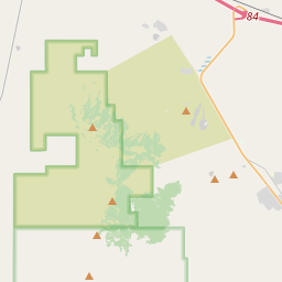
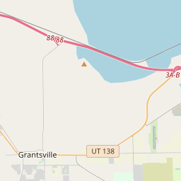
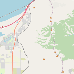
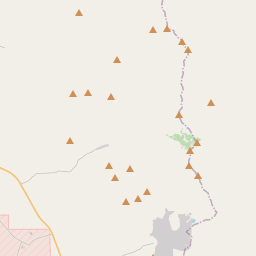
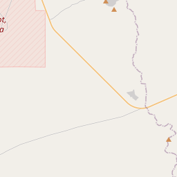
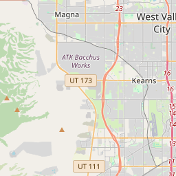
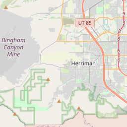
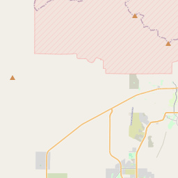
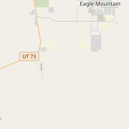
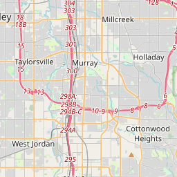
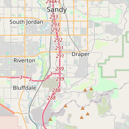
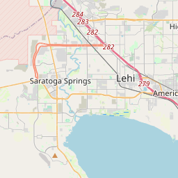
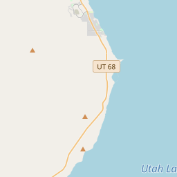
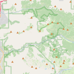
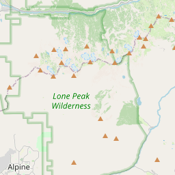
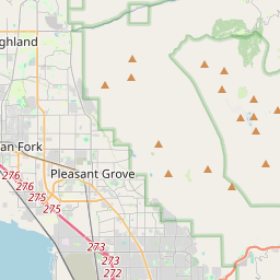
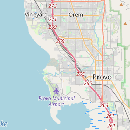
Nearest towns with a guide: Saratoga Springs (8 km) · Lehi (8 km) · Bluffdale (12 km). Coordinates 40.40518, -111.92817. Road distances are estimates.
Frequently asked
What is the best time to visit Cherry Trail?
Year-round, evenings. Usually quiet; mostly local visitors.
What are the places to visit near Cherry Trail?
Nearby: Thanksgiving Point (park, 5 km), Lehi Silver Band (lake, 8 km), Saratoga Springs Utah Temple (church, 8 km), Margaret Wines Park (park, 9 km), Draper City Amphitheater Park (park, 14 km), American Fork Presbyterian Church (church, 14 km).
Sources. Map data © OpenStreetMap contributors (ODbL). Credits.