










Visiting Церква "Ярина"
Typical pattern: usually quiet; mostly local visitors. Been there recently? Post today’s status and it shows here for the next traveller.
- Dress modestly and keep quiet during services.
- Some large cathedrals charge an entry fee for tourists.
Hours for this church are not listed yet; Churches are usually open during the day, with services on Sunday; visits may be limited during services. is typical for churches in Ukraine. Know them? Post an update.
Best time
Year-round; Christmas and Easter week are busiest. Busiest sunday services; christmas, good friday and easter. Typical week: Mon quiet · Tue quiet · Wed quiet · Thu quiet · Fri light · Sat light · Sun packed.
Places to visit near Церква "Ярина"
All places near Pidbuzh →
Memorial to the People Killed by Nazis During Wwii in Drohobych
fort · 14 km · Kalush Raion

Roman Riznjak Monument in Truskavets
church · 20 km · Kalush Raion

Пам'ятка садово-паркового мистецтва "Самбірський парк"
park · 24 km · Sambir Raion

Bal's Palace
fort · 39 km · Lviv Raion

Палац Фредрів-Шептицьких
fort · 42 km · Sambir Raion

Hurkalo
waterfall · 42 km · Kalush Raion
Other churches nearby
Roman Riznjak Monument in Truskavets · Kalush Raion20 kmМонастир святого Онуфрія Великого отців василіян · Sambir Raion58 kmKościół Pw. Świętego Stanisława Biskupa · Bieszczady63 kmCerkiew Pw. Narodzenia Najświętszej Panny Marii W Liskowatem · Bieszczady66 kmCerkiew Poczęcia Bogurodzicy W Młodowicach · Przemyśl68 kmГошівський монастир · Kalush Raion68 kmHow to reach Церква "Ярина"
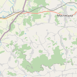
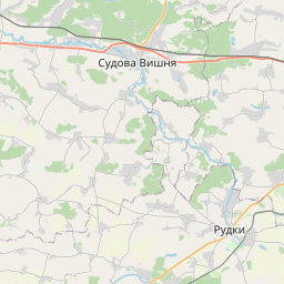
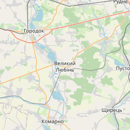
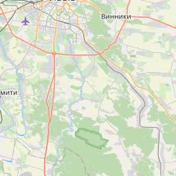
Nearest towns with a guide: Pidbuzh (11 km) · Drohobych (14 km) · Boryslav (14 km). Coordinates 49.37763, 23.35727. Road distances are estimates.
Frequently asked
What is the best time to visit Церква "Ярина"?
Year-round; Christmas and Easter week are busiest. Usually quiet; mostly local visitors.
What are the timings of Церква "Ярина"?
Hours for Церква "Ярина" are not published here. Typical for churches in Ukraine: Churches are usually open during the day, with services on Sunday; visits may be limited during services. Check locally before a long trip, or see the latest visitor report on this page.
What are the places to visit near Церква "Ярина"?
Nearby: Memorial to the People Killed by Nazis During Wwii in Drohobych (fort, 14 km), Roman Riznjak Monument in Truskavets (church, 20 km), Пам'ятка садово-паркового мистецтва "Самбірський парк" (park, 24 km), Bal's Palace (fort, 39 km), Палац Фредрів-Шептицьких (fort, 42 km), Hurkalo (waterfall, 42 km).
Sources. Map data © OpenStreetMap contributors (ODbL). Credits.