






Visiting West Rock
Typical pattern: usually quiet; mostly local visitors. Been there recently? Post today’s status and it shows here for the next traveller.
Best time
September to February; boat services pause in floods. Typical week: Mon quiet · Tue quiet · Wed quiet · Thu quiet · Fri light · Sat light · Sun light.
Places to visit near West Rock
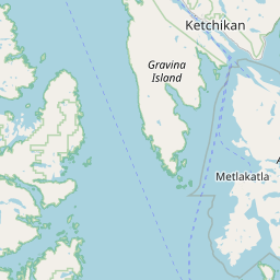
All places near Metlakatla →
Mary Island
river spot · 44 km
Zayas Island
river spot · 45 km · North Coast Regional

Tree Point Light
beach · 45 km
Dundas Island
river spot · 62 km · North Coast Regional
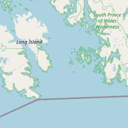
South Prince of Wales Wilderness
sanctuary · 68 km · Unorganized Borough

Deer Mountain
viewpoint · 74 km
Other rivers, islands & mangroves nearby
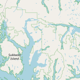
Mary Island · Ketchikan Gateway Borough44 kmZayas Island · North Coast Regional45 kmDundas Island · North Coast Regional62 kmLucy Islands · North Coast Regional101 kmStephens Island · North Coast Regional110 kmSukkwan Island · Unorganized Borough110 kmAll rivers, islands & mangroves in Ketchikan Gateway Borough →
How to reach West Rock
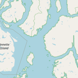
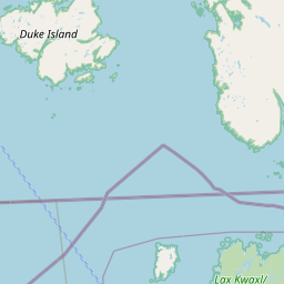
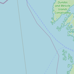
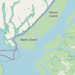
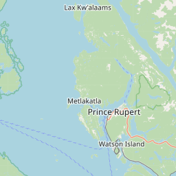
Nearest towns with a guide: Metlakatla (44 km). Coordinates 54.81193, -131.49792. Road distances are estimates.
Frequently asked
What is the best time to visit West Rock?
September to February; boat services pause in floods. Usually quiet; mostly local visitors.
What are the places to visit near West Rock?
Nearby: Mary Island (river spot, 44 km), Zayas Island (river spot, 45 km), Tree Point Light (beach, 45 km), Dundas Island (river spot, 62 km), South Prince of Wales Wilderness (sanctuary, 68 km), Deer Mountain (viewpoint, 74 km).
Sources. Map data © OpenStreetMap contributors (ODbL). Credits.