









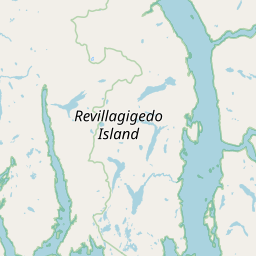
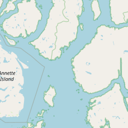
Visiting Westerly Island
Typical pattern: usually quiet; mostly local visitors. Been there recently? Post today’s status and it shows here for the next traveller.
Best time
September to February; boat services pause in floods. Typical week: Mon quiet · Tue quiet · Wed quiet · Thu quiet · Fri light · Sat light · Sun light.
Places to visit near Westerly Island
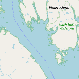
South Etolin Wilderness
sanctuary · 18 km

Lincoln Rock Light
beach · 47 km
Bell Island
river spot · 51 km · Ketchikan Gateway Borough
Karta River Wilderness
sanctuary · 64 km · Unorganized Borough

Guard Island Light
beach · 67 km · Ketchikan Gateway Borough

Totem Bight Historical State Park
park · 74 km · Ketchikan Gateway Borough
Other rivers, islands & mangroves nearby
Bell Island · Ketchikan Gateway Borough51 kmWoewodski Island · Petersburg Borough112 kmSukkwan Island · Unorganized Borough123 kmMary Island · Ketchikan Gateway Borough137 kmMuffin Islands · Wrangell11 kmBrownson Island · Wrangell12 kmAll rivers, islands & mangroves in Ketchikan Gateway Borough →
How to reach Westerly Island
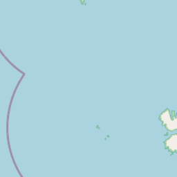
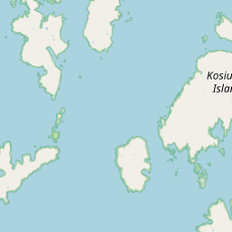
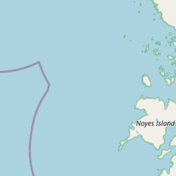
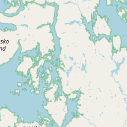
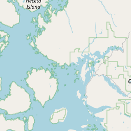
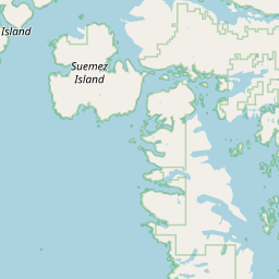
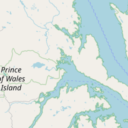
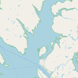
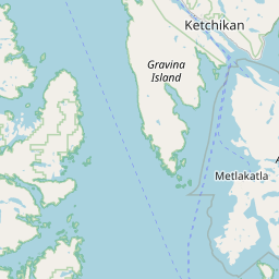
Coordinates 55.90340, -132.15542. Road distances are estimates.
Frequently asked
What is the best time to visit Westerly Island?
September to February; boat services pause in floods. Usually quiet; mostly local visitors.
What are the places to visit near Westerly Island?
Nearby: South Etolin Wilderness (sanctuary, 18 km), Lincoln Rock Light (beach, 47 km), Bell Island (river spot, 51 km), Karta River Wilderness (sanctuary, 64 km), Guard Island Light (beach, 67 km), Totem Bight Historical State Park (park, 74 km).
Sources. Map data © OpenStreetMap contributors (ODbL). Credits.