


Visiting Ilha Do Pinga
Typical pattern: usually quiet; mostly local visitors. Been there recently? Post today’s status and it shows here for the next traveller.
Best time
During and just after the rainy season, when the water is high. Typical week: Mon quiet · Tue quiet · Wed quiet · Thu quiet · Fri light · Sat light · Sun light.
Places to visit near Ilha Do Pinga
All places near Cerro Corá →Marco da Intentona Comunista
fort · 31 km
Serrinha Dos Barandões
viewpoint · 36 km
Serra Vermelha
viewpoint · 41 km · Região Metropolitana de Barra de Santa Rosa

Pico Do Cabugi
viewpoint · 44 km
Letreiro
fort · 44 km
Homenagem Ao Garimpeiro
fort · 45 km
Other rivers, islands & mangroves nearby
Ilha da Estiva · Rio Grande do Norte125 kmIlha de Santana · Rio Grande do Norte127 kmIlha Do Salgadinho · Rio Grande do Norte128 kmIlha Do Paraíso · Rio Grande do Norte135 kmIlha Do Tubarão · Rio Grande do Norte135 kmIlha de Santana · Rio Grande do Norte135 kmHow to reach Ilha Do Pinga
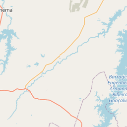
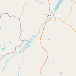
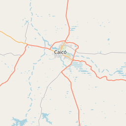
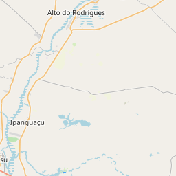
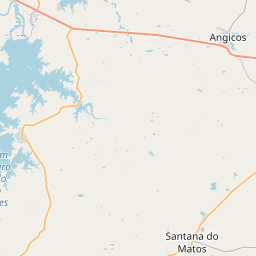
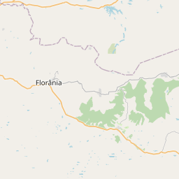
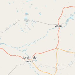
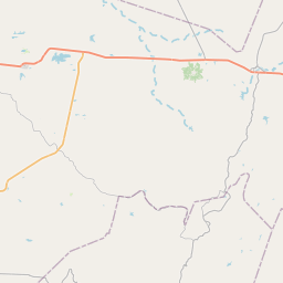
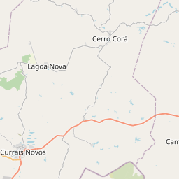
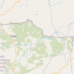
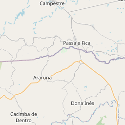
Nearest towns with a guide: Cerro Corá (9 km) · Monte Alegre (18 km) · Lagoa Nova (30 km). Coordinates -6.02014, -36.28488. Road distances are estimates.
Frequently asked
What is the best time to visit Ilha Do Pinga?
During and just after the rainy season, when the water is high. Usually quiet; mostly local visitors.
What are the places to visit near Ilha Do Pinga?
Nearby: Marco da Intentona Comunista (fort, 31 km), Serrinha Dos Barandões (viewpoint, 36 km), Serra Vermelha (viewpoint, 41 km), Pico Do Cabugi (viewpoint, 44 km), Letreiro (fort, 44 km), Homenagem Ao Garimpeiro (fort, 45 km).
Sources. Map data © OpenStreetMap contributors (ODbL). Credits.