



Visiting Thrumcap
Typical pattern: usually quiet; mostly local visitors. Been there recently? Post today’s status and it shows here for the next traveller.
Best time
September to February; boat services pause in floods. Typical week: Mon quiet · Tue quiet · Wed quiet · Thu quiet · Fri light · Sat light · Sun light.
Places to visit near Thrumcap
All places near Harpswell Center →


How to reach Thrumcap
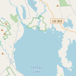
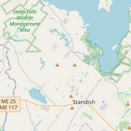
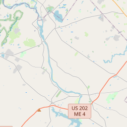
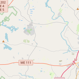
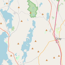
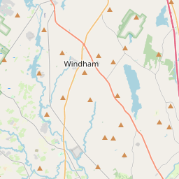
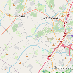
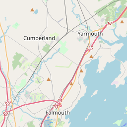
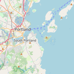
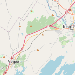
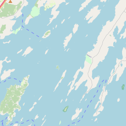
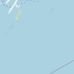
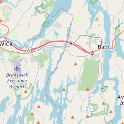
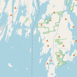
Nearest towns with a guide: Harpswell Center (11 km) · Falmouth Foreside (17 km) · Yarmouth (18 km). Coordinates 43.73339, -70.03476. Road distances are estimates.
Frequently asked
What is the best time to visit Thrumcap?
September to February; boat services pause in floods. Usually quiet; mostly local visitors.
What are the places to visit near Thrumcap?
Nearby: Bailey Island (river spot, 4 km), Littlejohn Island Preserve (sanctuary, 9 km), Halfway Rock Light Station (fort, 11 km), Cousins Island Chapel (church, 11 km), Winslow Memorial Park (park, 13 km), Wolfe's Neck Woods State Park (sanctuary, 13 km).
Sources. Map data © OpenStreetMap contributors (ODbL). Credits.