




Visiting Jackson Walking Path
Typical pattern: usually quiet; mostly local visitors. Been there recently? Post today’s status and it shows here for the next traveller.
Best time
Year-round, evenings. Typical week: Mon quiet · Tue quiet · Wed quiet · Thu quiet · Fri light · Sat light · Sun light.
Places to visit near Jackson Walking Path
All places near Jackson →
McKendree Chapel
church · 5 km · Alexander
Fort D
fort · 21 km · Alexander
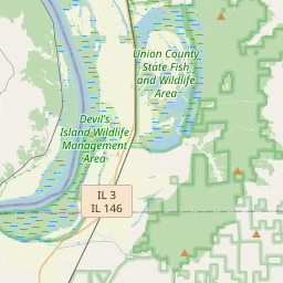
Devil's Island Wildlife Management Area
sanctuary · 25 km
Cape Bend State Fish and Wildlife Area
sanctuary · 29 km · Alexander
Union County State Fish and Wildlife Area
sanctuary · 32 km · Union

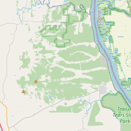
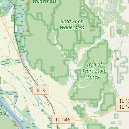
Trail of Tears State Forest
sanctuary · 37 km · Union
How to reach Jackson Walking Path
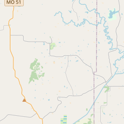
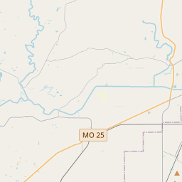
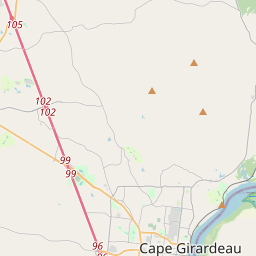
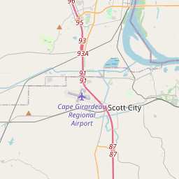
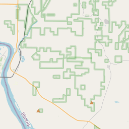
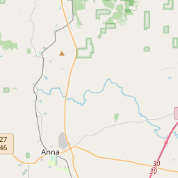
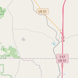
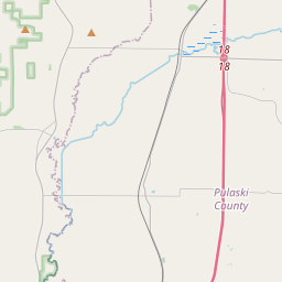
Nearest towns with a guide: Jackson (2 km) · Cape Girardeau (20 km) · Scott City (29 km). Coordinates 37.39738, -89.66175. Road distances are estimates.
Frequently asked
What is the best time to visit Jackson Walking Path?
Year-round, evenings. Usually quiet; mostly local visitors.
What are the places to visit near Jackson Walking Path?
Nearby: McKendree Chapel (church, 5 km), Fort D (fort, 21 km), Devil's Island Wildlife Management Area (sanctuary, 25 km), Cape Bend State Fish and Wildlife Area (sanctuary, 29 km), Union County State Fish and Wildlife Area (sanctuary, 32 km), Trail of Tears State Forest (sanctuary, 37 km).
Sources. Map data © OpenStreetMap contributors (ODbL). Credits.