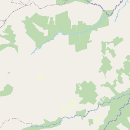


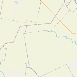
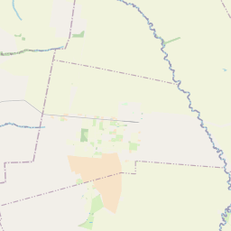
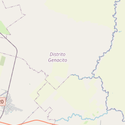

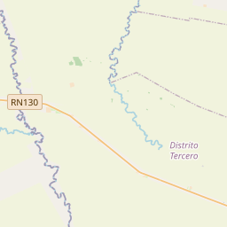
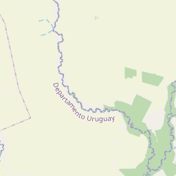
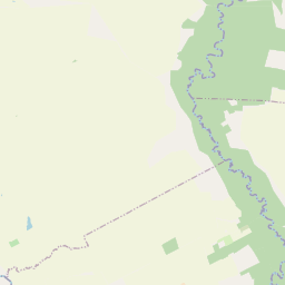
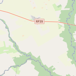
Visiting Mapa de Basavilbaso
Typical pattern: usually quiet; mostly local visitors. Been there recently? Post today’s status and it shows here for the next traveller.
Best time
April to October; summers are hot and humid. Typical week: Mon quiet · Tue quiet · Wed quiet · Thu quiet · Fri light · Sat light · Sun light.
Places to visit near Mapa de Basavilbaso
All places near Villa Mantero →Ex Usina Generadora
fort · 1 km
En Homenaje Al Doctor Raul Ricardo Alfonsín
fort · 1 km
Calle Don Ramón Manzur
fort · 1 km
Locomotora
fort · 1 km
Balneario Municipal de Santa Anita
beach · 30 km

Palacio San José
museum · 42 km
Other other attractions nearby
Balneario Villa Itapé · Departamento Uruguay78 kmJuan Domingo Perón · Departamento Uruguay1 km¡Gloria! Al Santo de la Espada · Departamento Uruguay1 kmAl Barón Mauricio de Hirsch · Departamento Uruguay1 kmEscultura Homenaje al Gaucho · Departamento Uruguay1 kmNovibuco 1 · Departamento Uruguay4 kmHow to reach Mapa de Basavilbaso
Nearest towns with a guide: Villa Mantero (16 km) · Santa Anita (29 km) · Herrera (30 km). Coordinates -32.37084, -58.87773. Road distances are estimates.
Frequently asked
What is the best time to visit Mapa de Basavilbaso?
April to October; summers are hot and humid. Usually quiet; mostly local visitors.
What are the places to visit near Mapa de Basavilbaso?
Nearby: Ex Usina Generadora (fort, 1 km), En Homenaje Al Doctor Raul Ricardo Alfonsín (fort, 1 km), Calle Don Ramón Manzur (fort, 1 km), Locomotora (fort, 1 km), Balneario Municipal de Santa Anita (beach, 30 km), Palacio San José (museum, 42 km).
Sources. Map data © OpenStreetMap contributors (ODbL). Credits.