










Visiting Surau
Typical pattern: usually quiet; mostly local visitors. Been there recently? Post today’s status and it shows here for the next traveller.
- Cover shoulders and knees; women usually cover their hair.
- Take off your shoes before the prayer hall.
Hours for this mosque or dargah are not listed yet; Mosques are open for the daily prayers; visitors are usually welcome between them, except Friday midday. is typical for mosques & dargahs in Malaysia. Know them? Post an update.
Best time
Year-round; Fridays, Ramzan and the annual Urs are busiest. Busiest friday prayers; ramzan nights; annual urs for dargahs. Typical week: Mon quiet · Tue quiet · Wed quiet · Thu quiet · Fri packed · Sat light · Sun light.
Places to visit near Surau
All places near Ladang Seri Kundang →
How to reach Surau
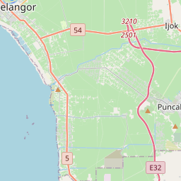
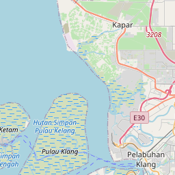
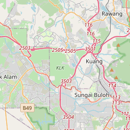
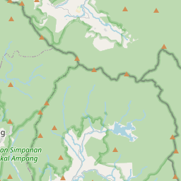
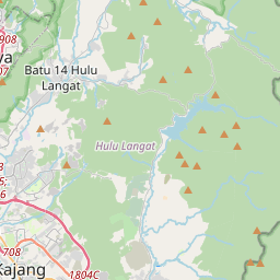
Nearest towns with a guide: Ladang Seri Kundang (3 km) · Kuang (7 km) · Batu Arang (9 km). Coordinates 3.27110, 101.50758. Road distances are estimates.
Frequently asked
What is the best time to visit Surau?
Year-round; Fridays, Ramzan and the annual Urs are busiest. Usually quiet; mostly local visitors.
What are the timings of Surau?
Hours for Surau are not published here. Typical for mosques & dargahs in Malaysia: Mosques are open for the daily prayers; visitors are usually welcome between them, except Friday midday. Check locally before a long trip, or see the latest visitor report on this page.
What are the places to visit near Surau?
Nearby: Masjid Nurul Amin (dargah, 8 km), Kanching Falls (waterfall, 16 km), Masjid Al-Muhtadin (dargah, 16 km), Masjid Al-Mukarramah (dargah, 18 km), Masjid Nurul Iman (dargah, 19 km), Bukit Lanjan (viewpoint, 19 km).
Sources. Map data © OpenStreetMap contributors (ODbL) · Overture Maps Foundation (CDLA-Permissive-2.0). Credits.