





Visiting Karner
Typical pattern: moderate; weekends busier. Been there recently? Post today’s status and it shows here for the next traveller.
- Dress modestly and keep quiet during services.
- Some large cathedrals charge an entry fee for tourists.
Hours for this church are not listed yet; Churches are usually open during the day, with services on Sunday; visits may be limited during services. is typical for churches in Austria. Know them? Post an update.
Best time
Year-round; Christmas and Easter week are busiest. Busiest sunday services; christmas, good friday and easter. Typical week: Mon light · Tue light · Wed light · Thu light · Fri light · Sat busy · Sun packed.
Places to visit near Karner
All places near Thaya →
Schloss Waidhofen An Der Thaya
fort · 5 km

Schloss Peigarten
fort · 6 km

Schloss Dobersberg
fort · 9 km

Schloss Karlstein
fort · 11 km

Schloss Illmau
fort · 12 km

Naturpark Heidenreichsteiner Moor
sanctuary · 14 km · Bezirk Gmünd
Other churches nearby
Kolomanistein · Bezirk Gmünd19 kmFriedenskirche Döllersheim (Hl. Petrus Und Paulus) · Bezirk Zwettl33 kmKostel Sv. Jakuba Většího · okres Třebíč34 kmPfarrkirche Hl. Dreifaltigkeit · Bezirk Zwettl35 kmKostel Svaté Kateřiny · okres Třebíč37 kmKostel Svatého Linharta · okres Třebíč38 kmHow to reach Karner
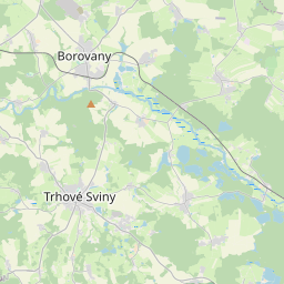
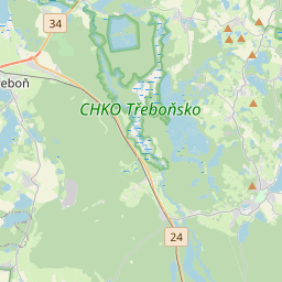
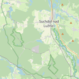
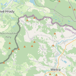
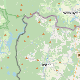
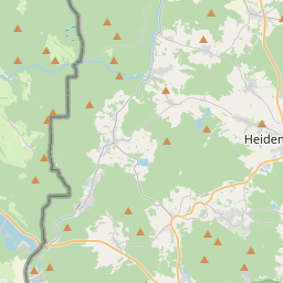
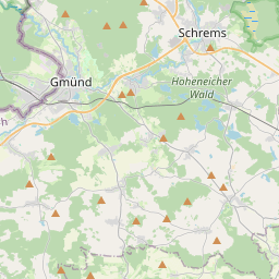
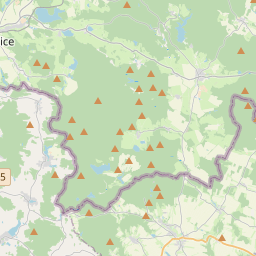
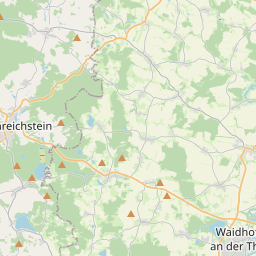
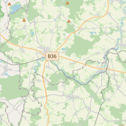
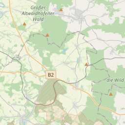
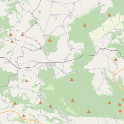
Nearest towns with a guide: Thaya (1 km) · Waidhofen an der Thaya (5 km) · Gastern (8 km). Coordinates 48.85477, 15.29037. Road distances are estimates.
Frequently asked
What is the best time to visit Karner?
Year-round; Christmas and Easter week are busiest. Moderate; weekends busier.
What are the timings of Karner?
Hours for Karner are not published here. Typical for churches in Austria: Churches are usually open during the day, with services on Sunday; visits may be limited during services. Check locally before a long trip, or see the latest visitor report on this page.
What are the places to visit near Karner?
Nearby: Schloss Waidhofen An Der Thaya (fort, 5 km), Schloss Peigarten (fort, 6 km), Schloss Dobersberg (fort, 9 km), Schloss Karlstein (fort, 11 km), Schloss Illmau (fort, 12 km), Naturpark Heidenreichsteiner Moor (sanctuary, 14 km).
Is Karner worth visiting?
Karner is listed as a notable church in Lower Austria on Spotwander.
Sources. Map data © OpenStreetMap contributors (ODbL) · Photo: Wikimedia Commons. Credits.