


Visiting Saint Mark’s
Typical pattern: usually quiet; mostly local visitors. Been there recently? Post today’s status and it shows here for the next traveller.
- Dress modestly and keep quiet during services.
- Some large cathedrals charge an entry fee for tourists.
Hours for this church are not listed yet; Churches are usually open during the day, with services on Sunday; visits may be limited during services. is typical for churches in New Zealand. Know them? Post an update.
Best time
Year-round. Busiest sunday services; christmas and easter. Typical week: Mon quiet · Tue quiet · Wed quiet · Thu quiet · Fri light · Sat light · Sun packed.
Places to visit near Saint Mark’s
All places near Leeston →
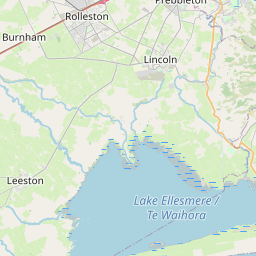
Lake Ellesmere / Te Waihora
lake · 20 km
Upper Brice Water Fall
waterfall · 41 km · Christchurch City

Lyttelton Harbour / Whakaraupō
beach · 51 km · Christchurch City

Al Noor Mosque
dargah · 52 km · Christchurch City

Pilgrims Rock
fort · 52 km · Christchurch City

Scotch Thistle Sculpture
fort · 52 km · Christchurch City
Other churches nearby
Christ the King Catholic Church · Christchurch City53 kmChristChurch Cathedral · Christchurch City53 kmTransitional Cathedral · Christchurch City54 kmSt John the Evangelist Parish - Leeston · Selwyn10 kmLeeston New Life Centre · Selwyn10 kmLifeTouch Christian Ministries (LTCM) · Selwyn10 kmHow to reach Saint Mark’s
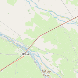
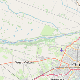
Nearest towns with a guide: Leeston (10 km) · Burnham (31 km) · Lincoln (31 km). Coordinates -43.83667, 172.31493. Road distances are estimates.
Frequently asked
What is the best time to visit Saint Mark’s?
Year-round. Usually quiet; mostly local visitors.
What are the timings of Saint Mark’s?
Hours for Saint Mark’s are not published here. Typical for churches in New Zealand: Churches are usually open during the day, with services on Sunday; visits may be limited during services. Check locally before a long trip, or see the latest visitor report on this page.
What are the places to visit near Saint Mark’s?
Nearby: Lake Ellesmere / Te Waihora (lake, 20 km), Upper Brice Water Fall (waterfall, 41 km), Lyttelton Harbour / Whakaraupō (beach, 51 km), Al Noor Mosque (dargah, 52 km), Pilgrims Rock (fort, 52 km), Scotch Thistle Sculpture (fort, 52 km).
Sources. Map data © OpenStreetMap contributors (ODbL). Credits.