

















Visiting Cañada Calcetin
Typical pattern: usually quiet; mostly local visitors. Been there recently? Post today’s status and it shows here for the next traveller.
- Go at sunrise or sunset for the best light; carry a warm layer.
Best time
October to February for cool, clear air; July to September for mist and greenery. Typical week: Mon quiet · Tue quiet · Wed quiet · Thu quiet · Fri light · Sat light · Sun light.
Places to visit near Cañada Calcetin
Misión Nuestra Señora de Los Dolores (Del Sur) Apaté
fort · 30 km · Municipio de La Paz
Estero San Cosme
beach · 49 km

Misión San Luis Gonzaga Chiriyaqui
church · 63 km · Municipio de Comondú
Cantil Colorado
viewpoint · 8 km
Cerro Berrendo
viewpoint · 10 km · Municipio de Comondú
Cerro Montalvá
viewpoint · 13 km · Municipio de Comondú
Other hill stations & viewpoints nearby
Misión San Juan Bautista Londó · Municipio de Loreto148 kmCantil Colorado · Municipio de Loreto8 kmCerro Berrendo · Municipio de Comondú10 kmCerro Montalvá · Municipio de Comondú13 kmPuerto Mezquitalito · Municipio de Loreto20 kmCerro Blanco · Municipio de Loreto28 kmHow to reach Cañada Calcetin
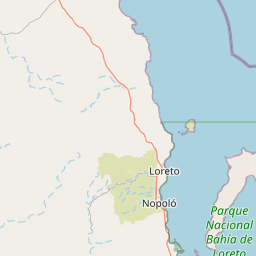
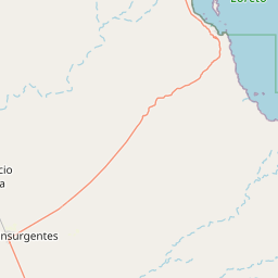
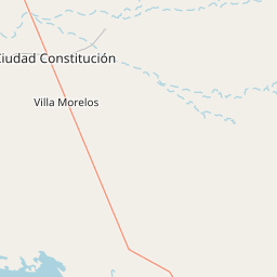
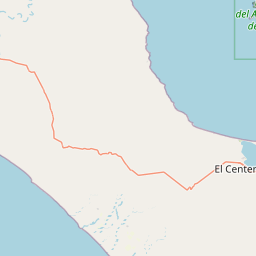
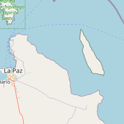
Coordinates 25.25694, -110.97694. Road distances are estimates.
Frequently asked
What is the best time to visit Cañada Calcetin?
October to February for cool, clear air; July to September for mist and greenery. Usually quiet; mostly local visitors.
What are the places to visit near Cañada Calcetin?
Nearby: Misión Nuestra Señora de Los Dolores (Del Sur) Apaté (fort, 30 km), Estero San Cosme (beach, 49 km), Misión San Luis Gonzaga Chiriyaqui (church, 63 km), Cantil Colorado (viewpoint, 8 km), Cerro Berrendo (viewpoint, 10 km), Cerro Montalvá (viewpoint, 13 km).