


Visiting Apache Trail
Typical pattern: moderate; weekends busier. Been there recently? Post today’s status and it shows here for the next traveller.
- Opening hours change with the season; check the last entry time.
- Wear shoes with grip for steps and uneven stone.
Best time
October to February; carry water in summer. Busiest weekends and long holidays. Typical week: Mon light · Tue light · Wed light · Thu light · Fri light · Sat busy · Sun busy.
Places to visit near Apache Trail
All places near Tonto Basin →


How to reach Apache Trail
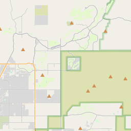
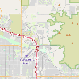
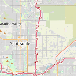
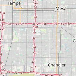
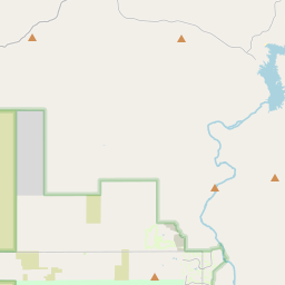
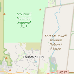
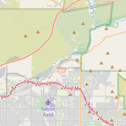
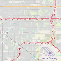
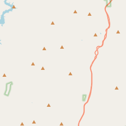
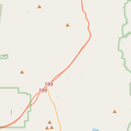
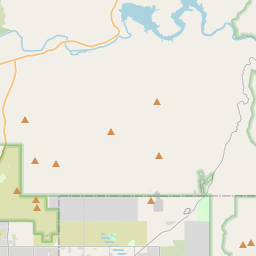
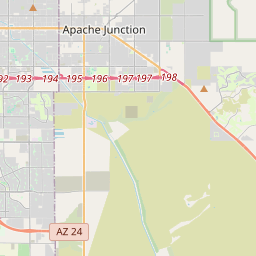
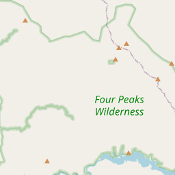
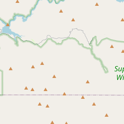
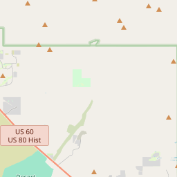
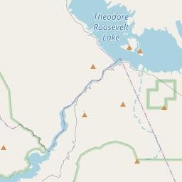
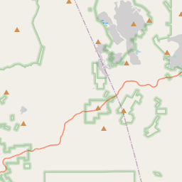
Nearest towns with a guide: Tonto Basin (34 km) · Gold Canyon (42 km) · Gold Camp (44 km). Coordinates 33.59846, -111.20289. Road distances are estimates.
Frequently asked
What is the best time to visit Apache Trail?
October to February; carry water in summer. Moderate; weekends busier.
What are the places to visit near Apache Trail?
Nearby: Apache Lake (lake, 7 km), Lime Mountain (viewpoint, 9 km), Theodore Roosevelt Dam (lake, 11 km), Tonto National Monument (sanctuary, 12 km), Reavis Falls (waterfall, 15 km), Horse Mesa Dam (lake, 16 km).
Is Apache Trail worth visiting?
Apache Trail is listed as a notable heritage site in Arizona on Spotwander.
Sources. Map data © OpenStreetMap contributors (ODbL). Credits.